|
|


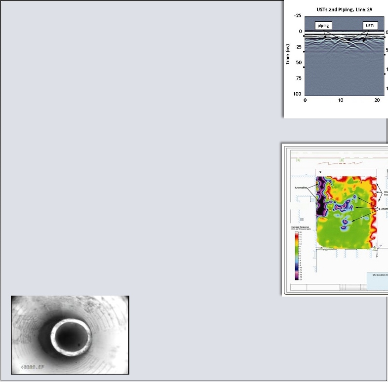
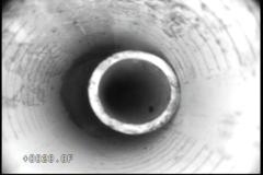
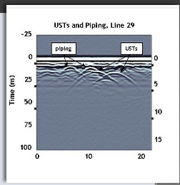
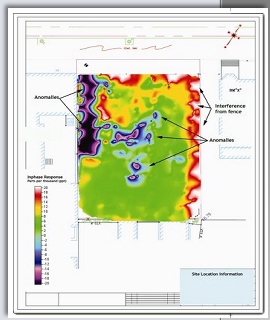
Ground Pentrating Radar (GPR) GPR works by sending a pulse of energy down into the subsurface and recording the strength and time required for a reflected signal to return. Reflections are produced when the energy pulse enters into materials with differing electrical conduction properties. GPR is very effective for locating USTs, utilities, piping, burials, foundations and other subsurface objects to significant depths. GeoSeek utilitzes GPR-Slice software to create 3-D GPR maps to identify subsurface anomalies. Electromagnetic (EM) Terrain Conductivity and Induction EM conductivity and induction investigations are a rapid and cost effective way to map landfills, locate USTs and buried drums/waste, as well as map shallow groundwater contamination. GeoSeek uses the Geonics EM31DL Terrain Conductivity Meter to measure soil conductivity and the Geonics EM61-MKII system for precision metal detection. The devices are non-intrusive and can be carried or towed. The geophysical data is collected simultaneously with real-time Differentially-corrected Global Positioning System (DGPS) coordinates. The data is contoured and presented to show the interpreted subsurface features (anomalies) as in the example shown. The final data maps can be presented in a variety of file formats allowing direct import into popular GIS and CAD programs such as ArcView® or AutoCad®. Borehole Video Logging GeoSeek utilizes the GeoVision Jr. Heavy Duty down-hole video camera system to provide real-time visual investigations of boreholes and wells of all diameters to depths up to 1000 feet. Video is viewed live on site, recorded digitally, and can be burned to a DVD for delivery to the client. • view and insptect water and monitoring wells, vertical and horizontal boreholes; • find and view fractures, voids, caves, water inflow, cross or inter-bed water flows, sand, gravel, and grout; • inspect piping, mines, caves, bridges, dams and foundations • find and identify obstructions or lost items |
all rights reserved to Geoseek LLC- 2010 |
GPR image showing UST and piping |
EM31 in-phase data map showing anomaly locations |
Geophysical Solutions for Environmental, Engineering and Cultural Resource Professionals |
A client had a 2” monitoring well with an unknown obstruction. GeoSeek found a section of PVC pipe at a depth of 28’ that had been dropped into the well. The pipe was retrieved and the client was able to save the property owner the cost of replacing the well. |
GeoSeek... if it’s underground, you need us around. |